NOAA~GFDL Climate Modelling and Predictions in 21st Century

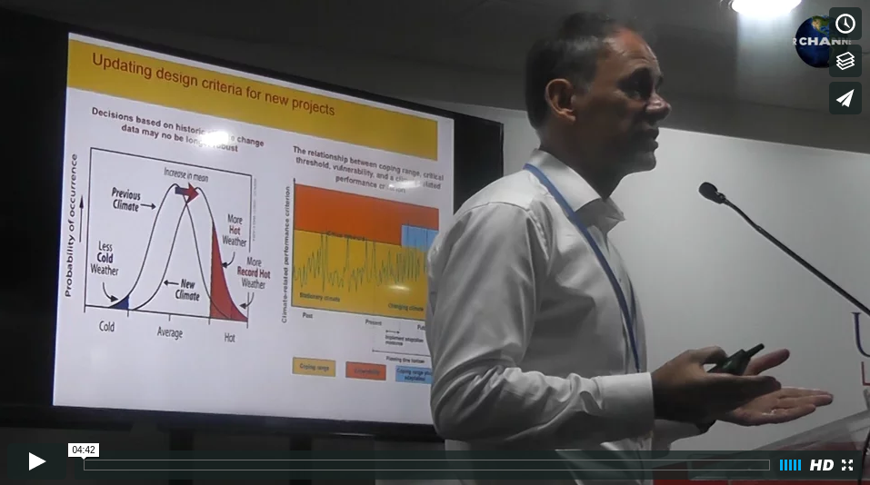
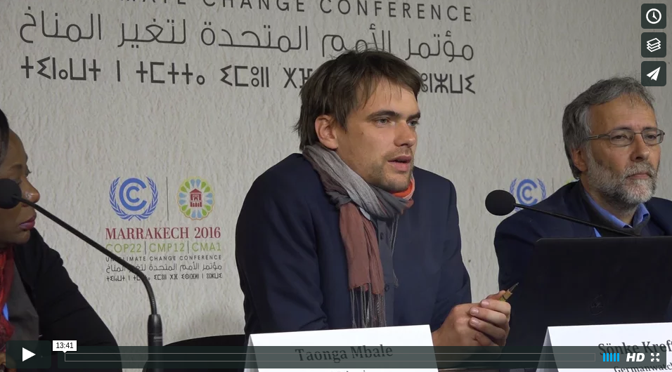
NOAA’s Geophysical Fluid Dynamics Laboratory Director, Mr V. Ramaswamy, speaks on the capture of Changes in Earths systems, i.e. Atmosphere, Oceans, Land and Ice, etc utilizing high resolution modelling in the 21st century to predict more detailed regional climate mapping and information.

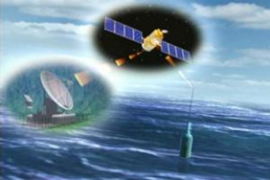
In terms of what has been observed, conclusions reached by IPCC AR5 Assessment in 2013 for example: Warming of the world – temperatures have increased by 0.6 tenths of a degree and above since 20th century and becoming universally progressive around the globe into the 21st century.  Regional sea level changes are monitored and use mm/year.  Satellite altimetry which records changes in sea surface height (geocentric sea level) and relative sea level changes from various tide gauge stations, which are compared with global mean sea level change models.  Future change in understanding and prediction in terms of weather and climate interface, i.e. weather events occurring on the background of climate change and obtaining regional info, which policy makers always require more than global information which is always available and robust.

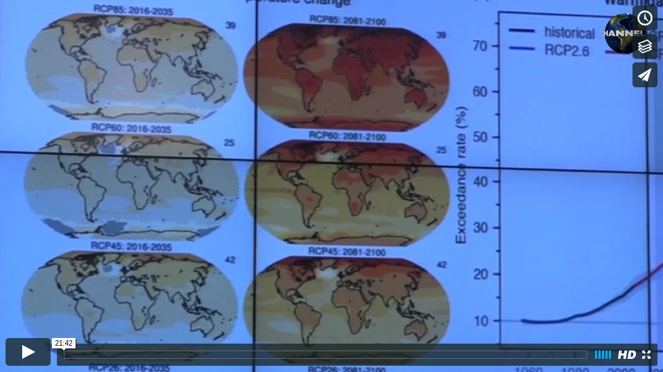
In order to quantify the impacts, including extremes caused by natural variations and forced changes, which in turn have adverse impacts on eco-systems, we use a mathematical model based on equations on concentrations of heat, momentum and dynamics which are inserted into a world model showing gridpoints, latitude, longtitude and vertical co-ordinates.  Based on these models, projections are then utilised by IPCC to project weather climate conditions for the future.  On the subject of ocean warming and acidification projections with the CMIP 5 models (Biogeosciences) in 2013 period, looking towards 2019 – 2100 indicate that all the oceans of thw world are becoming more acidic which will have negative impacts on the marine eco-systems.In terms of Africa – the NOAA-GFDL model indicates a 0.5 to 1 degree C temperature increase between pre-industrial up to present with a futuristic prediction of +3 degree C warming for the period 2016 to 2100.

Tools for these climate modelling predictions and projections have advanced substantially all across the globe in the modelling institutions with conceptual aspects of how models are advancing to capture the issue of both regional and the complexity (realism) capturing.  On the one hand – making models utilising higher resolutions so that there is more regional information, on the other hand – the capture of the realism of the whole system, e.g. climate systems, the earth system complexity, etc.  Resolutions of models – with the advent of high performance computers, modelling institutions have been able to improve the resolution quality and definition of models, but at an increased computational cost.  Advancement of resolution in meteorological modelling has benefits and dividends where greater rework between observations and created models was always a factor, but the gap is being closed with advanced technology.

Links :
https://www.gfdl.noaa.gov/   (Geophysical Fluid Dynamics Laboratory, NOAA)

(Visited 14 times, 1 visits today)

Related Posts

LEAVE YOUR COMMENT

Your email address will not be published. Required fields are marked *